- Cartographic coding and the digital medium
- digital mapping and GIS: see the definitions of a 'geographical information system' (GIS) on the Ordnance Survey website.
- coding; overlays : examples of visual codes for the interpretation of maps
- simulation : an option offered by digital maps
- Maps and the historical dimension
- the temporal dimension in space
see the 'Great Britain historical GIS'
- cartography and hypermedia historic cities
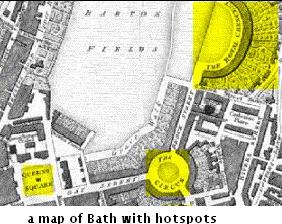
Digital maps can have hotspots revealing historical places.